RESTORATION AND CONSERVATION INNOVATION
GLOBAL MAP OF MANGROVE RESTORATION POTENTIAL
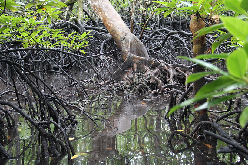
Mangrove forests are important for food production, carbon storage and sequestration, coastal protection, water purification, and tourism, which is why there is an increasing need not only to prevent further losses, but to increase mangrove areas through restoration. We developed a global model and map of mangrove restoration potential to help practitioners prioritize areas, and as a way to support and encourage mangrove restoration projects globally. The model incorporates information on both current and historic distribution of mangrove forests, as well as local drivers of mangrove loss and degradation (e.g., urbanization and industrial development, conversion to agriculture and aquaculture ponds, deforestation for fuelwood or timber, altered freshwater regimes, pollution and coastal erosion), which can vary in extent and severity depending on the region. Environmental (e.g., wave energy, tides) and social factors (e.g., population density, demographics), as well as future projections of sea level rise, urbanization, and weather events are other factors that can influence restoration suitability, and are incorporated into the model where possible. Model results can be viewed in an online mapping and decision-support tool that can be used by environmental groups to show the extent of degraded mangroves, how much land is available for restoration, identify priority restoration areas, and kick-start opportunities for implementing restoration projects. By highlighting the long-term value of mangroves, this work can reach beyond the conservation sector to engage governments and local communities in future restoration projects. For further information visit the Ocean Wealth website and explore the map here.
Team members: Thomas Worthington, Mark Spalding, Rowana Walton


MANGROVE RESTORATION TRACKER TOOL (MRTT)
The MRTT is a framework that can record and track outcomes from mangrove restoration projects. Developed in collaboration with the Global Mangrove Alliance and conservation practitioners and scientists from around the world, the MRTT has a flexible structure designed to capture existing field-based data collection in a standardised format. The MRTT has three sections to track information through the lifetime of a project: (i) pre-restoration site baseline, (ii) mangrove restoration interventions, and (iii) post-restoration monitoring. The three parts of the assessment are designed to be completed at the relevant time points throughout a restoration project, or can be completed simultaneously to assess past restoration projects.
The tool will aid the mangrove conservation community in identifying how specific conservation actions lead to outcomes for biodiversity, mangrove resilience, management effectiveness, communities, and governance. In turn, this will help improve mangrove conservation outcomes and build a community to support more effective mangrove restoration projects.
Team members: Rowana Walton, Thomas Worthington